September 15, 2015
Fulfilling a dream of several years now I decided to take a big trip this year and head for the Mickelson Trail in the Black Hills of South Dakota. There was no reason not to include a couple of other side trips as well. Several years ago I first heard about The Cowboy Trail winding across northern Nebraska, and thought it would be interesting. The trail itself is almost 200 miles in length, and I didn't have time in my schedule to ride the whole thing, but I could find time to stop in Valentine and ride a small bit of it. It almost seems, though, that I may have bit off a bit more than I could chew with the 700 mile first day. It's been a long time since I've put in that many miles in one day, and I was very tired when I arrived at Valentine at 6:30pm, but still determined to ride a bit of the trail. So, even though it was 95 degrees out and the wind was at 30 gusting to 45, I decided, "What the Heck" ..... I'm going anyway. It was short .... just 9 miles total, but I can say that I've ridden on the Cowboy Trail.

With the strong headwind and heading uphill, 8mph was all I could manage.

The big trestle from a distance. Long and high. Carried the freight across the Niobrara River, a wild, untamed and historical river through northern Nebraska. Now, it carries runners, hikers and bicycles.

The trail is rather pretty through here with the pines and cedars. As you can see from the tracks, the trail can get a little soft at times

Guess who on the big bridge.

Long ways down!

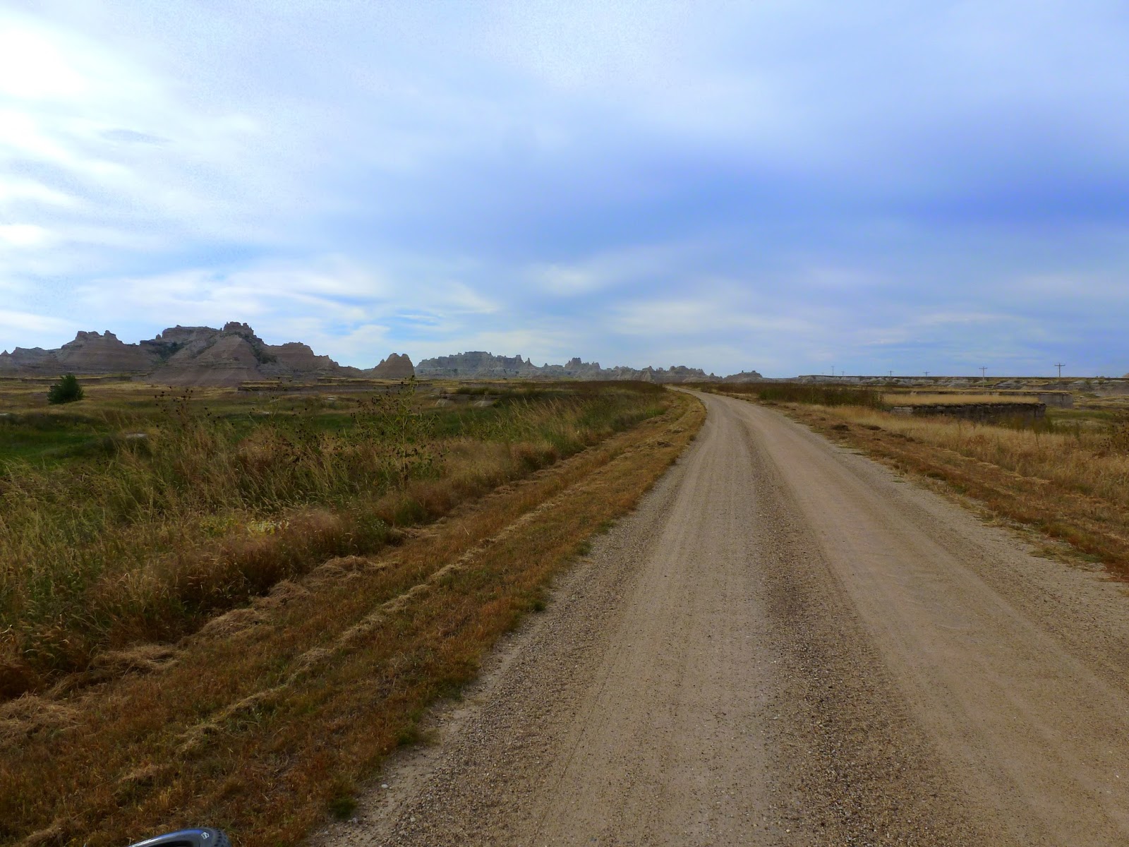
4 1/2 miles out, and 4 1/2 miles back to the motel, I was ready for dinner and a shower and bed. Tomorrow it's on to the Badlands of South Dakota.
After a good night's rest I felt much better, and a two hour drive later, I arrived in Interior, South Dakota and the entrance to the Badlands National Park. Driving to the Visitor's Center to unload my bike and start up Cedar Pass to start my ride.

Starting up Cedar Pass. I was warned by Park Rangers that a lot of cyclists misjudge this pass and have a bit of trouble making it up. I kept it in the big ring and didn't have a bit of trouble. 6% to 7% with a short bit of 10% and a mile and one half total. After about three quarters of a mile it drops down to about 4% for the remainder. It's steepest at the start. This year, however, they had a new twist ....... road construction, one lane closed. The flag people and drivers of other vehicles were very patient however, and I made it through the short quarter mile lane closure at 5mph. The picture below is the start of Cedar Pass from the visitor center.


Looking wayyy down there, you can make out the visitor center.

Made it to the top

Such an unusual terrain, you might be on the moon.

More climbing before my turn off onto gravel


Wind is a'blowin'

I took the "Old Northwest Road" off U.S. 240 right at the top of the pass, then proceeded north, downhill with the wind at my back, until the road made a sweeping turn to the east and back to the highway where I returned via blacktop into the wind and uphill. Hard ride back, not the best planning, but when you are vacationing, you take it as it comes. Do not forget your receipt or in my case, your Golden Age Passport or you will pay again getting back into the park on the return leg.
The gravel road at times get's a bit swoopy.

Almost missed these two ....... but they hadn't missed me ...

I did bootleg a short ride in and out on a hiking trail. Not really supposed to do this, but there was no one around, so I snuck in a shorty. Mountain bikes are prohibited on hiking trails within the National Park boundary. Shhhhh .....


My short 28 mile ride is done here and now it's down the road to Scenic, South Dakota. Below is the rip-snortin' town of Scenic, South Dakota, for sale a few years back for $799,000. Still for sale I think.

The Long Horn Saloon, the sign even tells which Indian Tribes are allowed in there. Click on the picture and it'll come full size.

The Calaboose. If you look in the back, you can still see the bunk frame and springs. I think the thought of spending any length of time in there would make me a very honest boy ....

The town motel ...... Maybe run by a fellow named Bates?

Four miles south of town on the "Bombing Range Road" is "Sheep Mountain Table Road". My destination for the remainder of my Badlands Tour. Drove a few hundred yards up the road and found a pull out where I could park. Unloaded my bike and started up this ..

That washboard was there all the way back seven miles, never gave it up except when it became soft sand on the top. I didn't know what I was really getting into on this one, and it became very interesting.

Is this the Sheep (above)? And the "table" (below)? I thought, maybe. At least I could call them that.

The washboard never relented. I had 8 pounds of air pressure in the tires for the upcoming Mickelson Trail, and it was pretty rough. Uphill from the very start, it never flattened out. Yes the sky is really that blue ..... it amazed me. Oklahoma skies are almost gray by comparison.


Up into the hills


More uphill ..... very steep, I didn't think it would ever end. This hill required several "Kodak Moments" to top.

Almost to the top and the washboard got even deeper, this is about three inches deep here. I tried to stay in the middle, but it didn't help much.


This was what it was all about. A forever view of the Badlands below. It was worth the climb after all. If you compare the size of the badlands spires to those at the beginning of my post, you will have some idea of the amount of climbing necessary to get to this vista point.


A little ways above this vista point was this sign, and the road deteriorating into a two track very sandy trail. It was so sandy, in fact that I could not negotiate through it with the 8 pounds of air pressure in my tires, so I stopped and let out quite a bit of air, down to around 5 pounds. It worked much better in the sand after that.


The reduction of air pressure had one benefit I didn't think about. All that washboard coming up ....... was gone on the way back. What took me an hour and one half to accomplish to get up here was done in 20 minutes on the way back. Except for the crawl down the big hill, it was 22-24 mph all the way back to the car, and smooth as glass. Fatties RULE!! This ends my little tour through the Badlands of South Dakota. I could have easily spent several days here exploring backroads, but wanted to move on into the Black Hills in the morning after a night's rest in Rapid City.
No comments:
Post a Comment